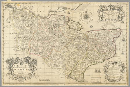
Image of Map of Lombardy.
{"event":"pageview","page_type1":"catalog","page_type2":"image_page","language":"en","user_logged":"false","user_type":"ecommerce","nl_subscriber":"false"}
{"event":"ecommerce_event","event_name":"view_item","event_category":"browse_catalog","ecommerce":{"items":[{"item_id":"BL3305063","item_brand":"other","item_category":"illustration","item_category2":"out_of_copyright","item_category3":"standard","item_category5":"not_balown","item_list_name":"search_results","item_name":"map_of_lombardy","item_variant":"undefined"}]}}
Search our collection by uploading an image.
Drag & Drop an image Click to browse your device
This search will return exact matches only. For best results:
Processing search results
Searching for a particular field
Field Search term Example
Asset title title: title:pony Asset title and keywords ~ ~pony Asset description text description: description:london Agency prefix prfx: or $ prfx:lal or $LAL Asset id imageid: imageid:250297 or imageid:[2500 TO 4000] Agency name coll: coll:history Medium medium: medium:oil Century century: century:20th Keywords kw: kw:dog Artist name artist: or ? artist:monet or ?monet Artist nationality ?? ??French Creator ID creatorid: creatorid:37 Location loc: or @ loc:exeter or @exeter Classification class: or # class:57 or #57. Use # for unclassified assets Year year: year:1850 or year:[1700 TO 1800]
Metadata Block (Hidden)
Contact us for further help
High res file dimension
Search for more high res images or videos
Map of Lombardy.
Permission required for non-editorial use (inc book and magazine covers). Please contact us